
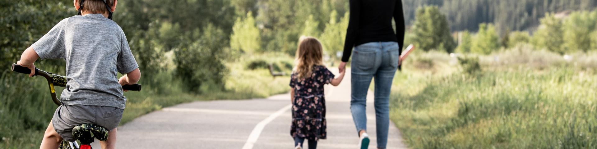
Cochrane has over 80 kilometres of pathways, trails and public sidewalks. This pathway system helps connect our community.
Use the Parks and Recreation amenities map to find your new favourite trail or plan your next walk. The interactive map has information on current and future paths and the pathway surface (asphalt, gravel, etc.).
Sidewalk/Pathway snow & ice clearing
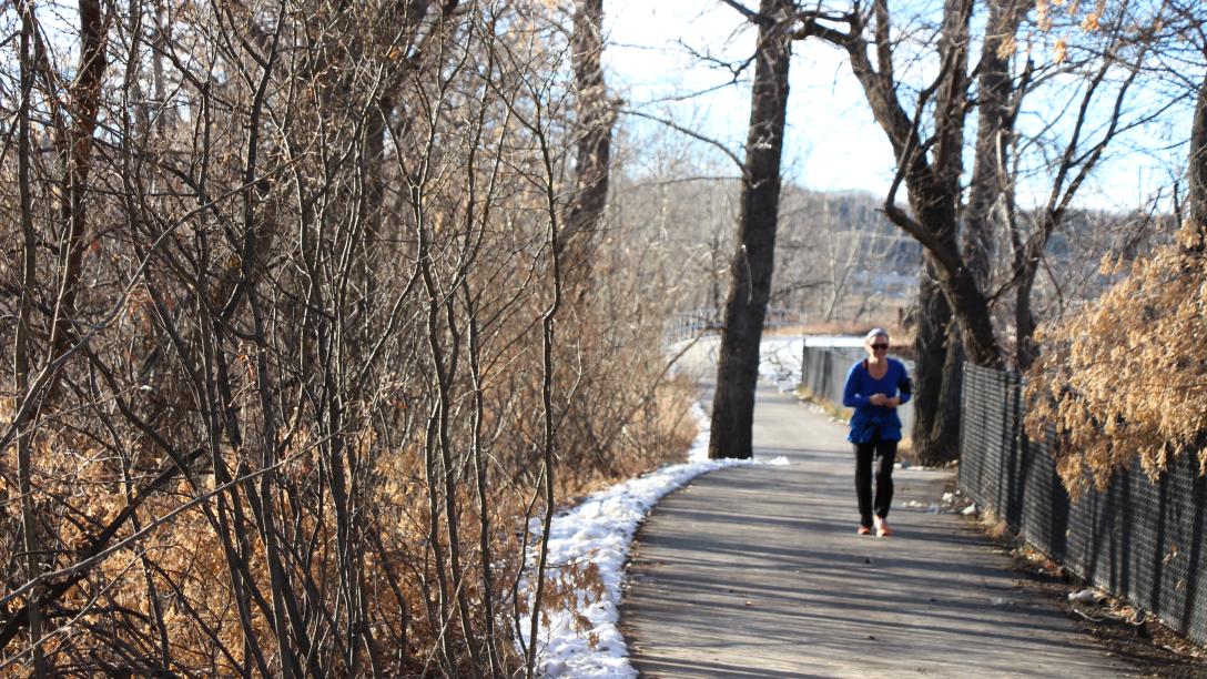
Within 48 hours after a snowfall, Cochrane clears snow from sidewalks and pathways including:
- sidewalks adjacent to Cochrane owned buildings, properties and Cochrane maintained parks.
- sidewalks adjacent to public schools
- municipally maintained stairway links within communities
- bridge walkways across the Bow River and Jumping Pound Creek.
- asphalt pathways and sidewalks adjacent to roadways, allowing pedestrian access to the downtown core
- asphalt pathways within parks and environmental reserves
- asphalt pathway links
Areas not designated to be cleared of snow:
- residential sidewalks
- unpaved pathways within parks and environmental reserves
Sanding & salting
Sanding and salting of streets, lanes and sidewalks is done to ensure a reasonable level of safety for motorists and pedestrians.
Active transportation
Discover the benefits of active transportation - including walking, scootering or cycling!
| Title Sort ascending | Address |
|---|---|
| Tim Bannister Memorial Outdoor Rink | 324 Ross Ave, Cochrane, AB T4C 2J5 |
| Rodeo Grounds South Ball Diamonds | 107d Fifth St W. Cochrane, AB T4C 2K8 |
| Rodeo Grounds North Ball Diamond | 107c Fifth St W. Cochrane, AB T4C 2K8 |
| Riverview Park | 27 Riverview Drive |
| Riverfront Park | 649 Griffin Rd West |